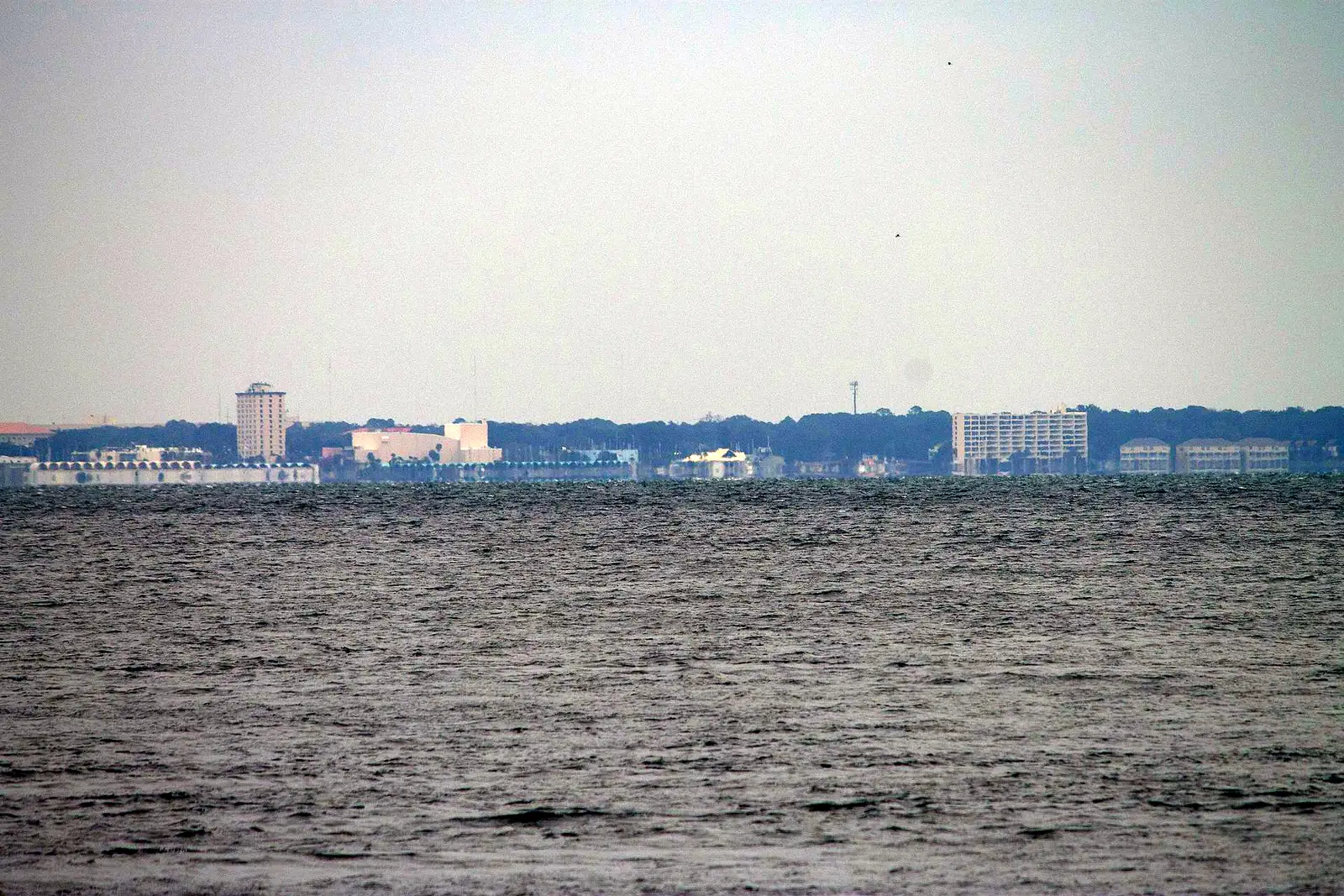
Nine Panama City neighborhoods named by the city, from St. Andrews to SweetBay: ZIP codes, zoned schools and Zillow home values for August 2026.
Last checked Oct. 10, 2026. Sources: the City of Panama City’s Community Redevelopment Agency district pages and its golf cart neighborhoods announcement and map, Bay County’s school attendance zone maps, the Florida Department of Education’s 2026 school grades, the Zillow Home Value Index, the Census Bureau and OpenStreetMap.
Panama City wraps around the north shore of St. Andrews Bay in Bay County. The Census Bureau counts about 35.5 square miles of land inside the city limits and 34,979 residents in its 2020-2024 American Community Survey. The oldest neighborhoods sit along the water, from Lake Huntington and St. Andrews in the west through downtown to the Cove and Millville in the east. Newer areas such as SweetBay are farther north.
Two roads organize the city. U.S. 98 runs east to west along 15th Street, with Business U.S. 98 closer to the water on Beach Drive and 6th Street. Harrison Avenue, which carries U.S. 231 north of downtown, runs from the marina up through the middle of town. 23rd Street (State Road 368) is the main shopping street to the north.
What this means for you
- Check the city limits first. Panama City’s three main ZIP codes, 32401, 32405 and 32404, all reach outside the city. A Panama City mailing address may be in unincorporated Bay County, with county services and taxes instead of city ones.
- School zones do not follow city limits or ZIP codes. Most older neighborhoods are zoned for Bay High, but Millville is split with Rutherford High, and several areas are split between two elementary schools.
- Home values differ by ZIP code: Zillow’s August 2026 figures run from $217,221 in 32401 to $298,838 in 32405.
The areas at a glance
| Area | ZIP code | Zoned high school | Typical home value in that ZIP, August 2026 |
|---|---|---|---|
| Downtown | 32401 | Bay High | $217,221 |
| St. Andrews | 32401 | Bay High | $217,221 |
| Lake Huntington | 32401 | Bay High | $217,221 |
| The Cove | 32401 | Bay High | $217,221 |
| Downtown North | 32401, 32405 | Bay High | $217,221 / $298,838 |
| Glenwood | 32401 | Bay High | $217,221 |
| Millville | 32401 | Rutherford High (most); Bay High (west edge) | $217,221 |
| Forest Park | 32405 | Bay High | $298,838 |
| SweetBay | 32405 | Bay High | $298,838 |
Home values are the Zillow Home Value Index, a modeled typical value for the middle third of homes across each whole ZIP code, not a sale price. Zillow’s figure for Panama City as a whole was $284,369 in August 2026, up 1.2% in a year; ZIP 32404, on the city’s north and east side, was $286,214. For the trend over ten years, see our home prices guide.
Map
The city’s golf cart neighborhoods map draws the boundaries of most of the areas in this guide, and the city’s CRA district maps show the redevelopment districts.
Map credit: area boundaries from the City of Panama City. Place names, store locations and road distances on the area pages use © OpenStreetMap contributors.
The areas
Downtown. The original business district on Harrison Avenue and the waterfront, named Panama City in 1906, with City Hall, McKenzie Park and the marina. Property here also pays the Downtown Improvement District’s 3 mills.
St. Andrews. The bayfront area around Beck Avenue, a city redevelopment area since 1989, with Oaks by the Bay Park and the Saturday market. Its elementary zone is split three ways.
Lake Huntington. A small bayfront area west of Beck Avenue along U.S. 98, with Lake Huntington Park’s boat ramp. The closest area in this guide to Northwest Florida Beaches International Airport by road.
The Cove. Residential streets on the bay south of 5th Street, just east of downtown, with Lannie Rowe Park and Merriam Cherry Street Elementary.
Downtown North. The grid between Harrison Avenue and MLK Jr. Boulevard from 6th to 15th Street, with Bay High School and the MLK Jr. Recreation Center.
Glenwood. East of MLK Jr. Boulevard to North East Avenue, part of the Downtown North redevelopment district, with Oscar Patterson Academy and Joe Moody Harris Park.
Millville. Its own town until 1926, on the bay past Watson Bayou, with the new Millville Waterfront Park. Most of it is zoned for Rutherford High.
Forest Park. Between 15th and 23rd streets from Beck Avenue to about Jenks Avenue, in ZIP 32405, with Hentz Park and supermarkets on both edges.
SweetBay. A neighborhood on the bay northwest of St. Andrews Boulevard in ZIP 32405, zoned for Northside Elementary.
The city’s golf cart list also names Venetian Villa, Candlewick and Liberty. They are smaller or farther out, and we found too little published detail to give them their own pages yet.
Where the schools fall
From Bay County’s school attendance zone maps, with each school’s grade from the Florida Department of Education:
| School | Areas zoned for it | 2026 grade |
|---|---|---|
| Bay High | All but most of Millville | C |
| Rutherford High (grades 6 to 12) | Most of Millville | C |
| Jinks Middle | Most areas | C |
| Mowat Middle | Northern Glenwood | A |
| Merriam Cherry Street Elementary | Downtown, the Cove, Millville, parts of St. Andrews and Downtown North | C |
| Lucille Moore Elementary | Lake Huntington, western St. Andrews and Forest Park | D |
| Oscar Patterson Academy | Glenwood, parts of St. Andrews and Downtown North | D |
| Northside Elementary | SweetBay, most of Forest Park | B |
Check any address with the district’s School Zone and Bus Route search. For registration, calendars and the full list of grades, see our schools guide.
Comparing nearby cities
Thinking about Lynn Haven, Callaway or Springfield instead? Our Panama City vs Springfield vs Lynn Haven vs Callaway guide sets out tax rates, home values, schools and city services side by side. For property taxes inside the city, see our property taxes guide, and for the move itself, moving to Panama City.
How we built this
We used only areas the city itself names and maps:
- Downtown, St. Andrews, Millville and Downtown North are the city’s community redevelopment districts.
- The Cove, Glenwood, Forest Park, Lake Huntington and SweetBay are neighborhoods the City Commission has designated for golf carts, each drawn on the city’s map. Downtown, St. Andrews, Millville and Downtown North appear there too, and this guide uses those boundaries.
- OpenStreetMap also marks St. Andrews (“Saint Andrew”), the Cove, Millville, Glenwood and SweetBay as named places.
We checked each area’s ZIP code against the Census Bureau’s ZIP code areas and its zoned schools at several points against Bay County’s attendance zone maps on Oct. 10, 2026. Road distances were measured on the OpenStreetMap road network. We did not name individual subdivisions, and we do not rank the areas.
Frequently asked questions
What are the neighborhoods in Panama City, Florida?
The city names Downtown, St. Andrews, Millville and Downtown North as redevelopment districts, and its golf cart program adds the Cove, Glenwood, Forest Park, Lake Huntington, SweetBay, Venetian Villa, Candlewick and Liberty. This guide has a page for nine of them.
What ZIP codes are in Panama City?
Mainly 32401, 32405 and 32404. Downtown, St. Andrews, the Cove, Millville, Glenwood and Lake Huntington are in 32401; Forest Park and SweetBay are in 32405. All three ZIP codes also reach outside the city limits.
What high schools serve Panama City neighborhoods?
Bay High serves most of the older neighborhoods in this guide, from Lake Huntington to Glenwood and SweetBay. Most of Millville is zoned for Rutherford High. Both earned a C in Florida’s 2026 school grades.
What is the typical home value in Panama City?
Zillow put it at $284,369 for the city in August 2026, up 1.2% from a year earlier. By ZIP code it was $217,221 in 32401, $286,214 in 32404 and $298,838 in 32405.
Have your say